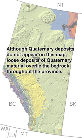
Paleontology and geologyIn the Quaternary, glaciers advanced across Alberta from the north five times. They scraped up the bedrock, leveled the landscape, and redeposited sediments over much of the surface. In many areas, these sediments take the form of drumlins and moraines, and near Lake Athabasca, sand dunes were developed from eroded Precambrian sandstones. Ice also built up in the mountains and carved out valleys and lakes. During non-glacial times, a variety of bivalves and fish lived in the lakes and rivers, while the forests and grasslands were home to a variety of mammals. Early wolves and American lions hunted camels, horses, mastodons, ground sloths, caribou, and muskox. Tracks of these large mammals are preserved in southwestern Alberta, and caves in the Rocky Mountains have yielded fossils of rodents, shrews, rabbits, and small carnivores. Because Quaternary deposits overlie the bedrock throughout the province, they are not shown on this map. However, they can be seen in other more detailed maps of this age. |