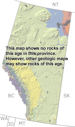
Paleontology and geologyIn the Early Triassic, shallow waters began to spread over the western margin of Alberta. Throughout the period, the seas continued to invade, and by the Late Triassic, the western half of the province was under water. In very shallow lagoons and mudflats, deposits of gypsum, salt, dolostone, and mudstone formed. Sandstones formed along the coast, while limestones were deposited out on the shelf. Although fossils are not common, ammonites and a variety of fish are preserved in these rocks. They also contain substantial oil and gas reserves, as well as economically important phosphate deposits. Triassic rocks are found below the surface and in the Rocky Mountains. The exposures are too small to appear on this map, but may be found on other more detailed maps. |