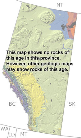
Paleontology and geologyIn the Early Jurassic, eastern Alberta was above sea level. The western half of the province was covered by shallow waters, which dropped down into a trough near the Alberta-British Columbia border. Dolostones, limestones, and shales formed on the shallow shelf, and substantial phosphate deposits developed because of upwelling from deeper water and the arid climate. These shallow and deep water environments were home to ammonites, belemnites, bivalves, fish, as well as the oldest known plesiosaur in North America. By the Late Jurassic, collisions with islands off the coast started to build up the Rocky Mountains in the west, and the seas shifted to the center of the province. The climate became more humid as evidenced by fossils of cycads, conifers, and ferns. Most Jurassic rocks are below the surface, but a few exposures are found in the mountains. These exposures are too small to be found on this map, but other more detailed maps may include them. |