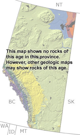
Paleontology and geologyMost of Alberta was covered by shallow seas in the Early Carboniferous. The warm waters sustained a wide variety of creatures, including crinoids, bryozoans, corals, brachiopods, foraminifera, and trilobites. By the Middle Carboniferous, the northern and eastern parts of the province began to emerge, and an island arc began to collide with the continent from the west. This collision pulled down the crust and created a narrow trough along the Alberta-British Columbia border. Shales accumulated in the deep trough, while limestones, dolostones, and sandstones formed in the shallow marine, estuary, and delta environments closer to land. Many of these rocks are below the surface, but a few exposures can be found in the Rocky Mountains. Although fossils are rare, teeth and fragments from bony fish and sharks have been found in these rocks. These exposures are too small to be found on this map, but other more detailed maps may include them. |