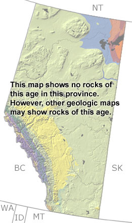
Paleontology and geologyIn the Early Permian, the shallow seas that covered the western margin of Alberta began to retreat. The estuaries and lagoons in this area were home to brachiopods, conodonts, foraminifera, cephalopods, and fish. The seas also accumulated substantial deposits of phosphate because of the arid climate and upwelling from the deeper waters to the west. By the Middle to Late Permian, all of Alberta was above sea level, and erosion removed many of these deposits. Some rocks can be found below the surface and in a narrow belt of outcrops in the Rocky Mountains. The exposures are too small to appear on this map, but they may be found on other more detailed maps. |