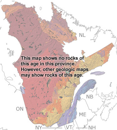
Paleontology and geologyMost of Quebec was above sea level during the Cambrian, with the edge of the continent just north of the St. Lawrence River. Sediments eroding off the land were deposited on the continental shelf and slope that covered southern Quebec. In the southwest, Early Cambrian shales and conglomerates record underwater avalanches and contain fossils of the animals that lived in the warm waters, including trilobites, brachiopods, bivalves, gastropods, and echinoderms. As more sediment accumulated, the shelf grew wider and shallower. Mudcracks in shales indicate times when the area was exposed, while conodont, stromatolite, and trilobite fossils indicate intervals covered by water. In the southeast, sandstones and mudstones deposited in shallower waters contain fossils of early jellyfish, soft-bodied arthropods, and trace fossils. Rocks deposited in deeper waters that were farther out to sea can also be seen in the south. They were pushed up against the continent by later collisions. Some of these rocks have been metamorphosed from the heat and pressure of later collisions. On this map, Cambrian rocks are shown as undifferentiated when you click on the SHOW undifferentiated rock units button.
|