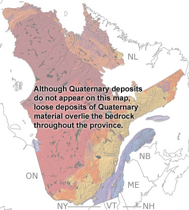
Paleontology and geologyQuebec was covered by forests, tundra, and ice at different times throughout the Quaternary. The glaciers shaped much of the modern topography of the province, gouging out the current shapes of many lakes and bays in the province. They scraped the surface, leaving striations and grooves in harder rocks and eroding softer ones. When the glaciers melted, the sediments they picked up were re-deposited all over the province, some in the form of eskers or moraines. After the glaciers melted, many coastal areas were submerged by the sea. In the north, deposits of sand and mud left by the sea formed terraces above the coastline. Some of these deposits contain fossils of bivalves, snails, and barnacles. In the south, the Champlain Sea flooded the lowlands around the St. Lawrence River. These marine deposits have produced fossils of whales, seals, walruses, and even narwhals. On land, mastodons roamed the forests and grasslands, although only one fossil tooth from these giants has been found. More recent fossils of birds, rodents, carnivores, and reptiles have been found in caves in the southeast. |