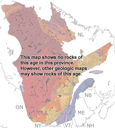
Paleontology and geologyMost of Quebec was above sea level during the Carboniferous. Deposition was restricted to river valleys and low areas between the highlands. Nearly all the rocks from this time have been eroded away, except for two small areas. In southeastern Quebec and on the Magdalen Islands, there are exposures of sandstones and mudstones that are red in color, indicating they were deposited on land. The evaporites and limestones on the Magdalen Islands, some of which contain conodont fossils, were deposited in the shallow Windsor Sea that spread over the Gulf of St. Lawrence region during the early part of this period. All the outcrops of these rocks are too small to appear on this map, but they are included when you click on the SHOW undifferentiated rock units button. |