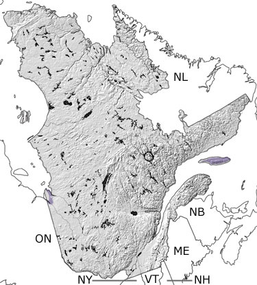
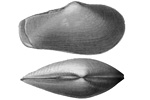
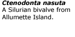
Paleontology and geologyNorthern and central Quebec remained above sea level and exposed to erosion during the Silurian. The volcanic islands and terranes continued to collide with the continent, uplifting the region. As a result, the seas covering southeastern Quebec got shallower and filled with sediments from the surrounding highlands. Reefs developed in the warm, shallow waters, teeming with corals, trilobites, brachiopods, bryozoans, crinoids, ostracods, and graptolites. Fossils of these animals can be seen in the limestones, sandstones, and shales in the southeast and on Anticosti Island. Shallow waters still covered the middle of Laurentia, extending to western Quebec. Limestones, sandstones, and shales in this area have yielded a few fossils, and evaporite deposits record intervals when the seas were so shallow, the water evaporated and left the salts behind. |