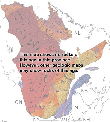
Paleontology and geologyIn the Permian, all the continents came together to form the supercontinent Pangea. Quebec was above sea level near the middle of this supercontinent. Erosion has removed most of the Permian rocks from this province, however, there are a few small outcrops of reddish sandstones on the Magdalen Islands. These rocks were deposited near the shore of the closing sea between Laurentia and Gondwana.About 290 Ma, two asteroids hit northwestern Quebec, leaving the impact craters that form Lac a lEau Claire. The impact of these asteroids shattered the Precambrian rocks and sent debris flying through the air. The altered and re-deposited material around the craters is mapped as Permian. All these deposits are too small to appear on this map but may appear on other, more detailed maps of their respective areas.
|