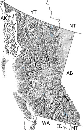
Paleontology and geologyThe shallow to deep seas of the continental shelf and slope continued to cover British Columbia in the Early Permian, The arid climate and upwelling from the deeper areas produced substantial phosphate deposits among the limestones, sandstones, and shales that accumulated in these seas. In the Middle Permian, subduction along the volcanic islands began to close the ocean that separated them from the continent, and by the end of the period, these now much larger islands were approaching the continental slope. As a result, fossils from some of these rocks are more similar to those of Japan and China than North America. Fossils are not very common in the Permian rocks of British Columbia, but conodonts, brachiopods, sponges, radiolarians, calcareous algae, gastropods, cephalopods, and early sharks (Helicoprion) have been found. Other parts of what would become British Columbia were forming even farther out in the ocean. |


