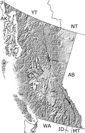
Paleontology and geologyIn the Early Devonian, marine waters returned to cover all of British Columbia, except for an island in the east-central part of the province. In the very shallow areas, dolostones, sandstones, and salt deposits formed in lagoons, mudflats, and coastal areas. As the seas continued to spread, these areas became deeper, and reefs developed in the warm waters. Corals and stromatoporoids built up large structures that were home to brachiopods, crinoids, ostracods, gastropods, and trilobites. In the Middle Devonian, several smaller reefs coalesced into a large barrier reef in the northeast, which restricted the flow of sea water to the east. Over time, this large reef came down, and smaller reefs and mounds took its place. The deeper waters of the continental slope and open ocean were located in today’s western part of the province. In the Late Devonian, subduction to the west caused volcanic islands to build up off the coast, and a new ocean began to form separating these islands from the mainland. Also at this time, other parts of what would become British Columbia were forming on the opposite side of the ocean. On this map, a few exposures appear in the west, while others may be included in the undifferentiated Paleozoic rocks. |


