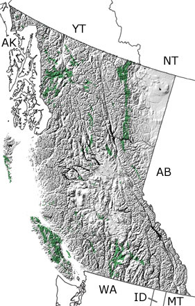
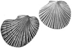
Paleontology and geologyIn the Triassic, British Columbia was covered by shallow seas of the continental shelf, and the continental slope was along the western edge of the province. Subduction in this area closed the last part of an ocean separating a series of volcanic islands from the continent. This process sliced off pieces of the oceanic crust, added them to the islands, and began pushing the islands against each other and the continental shelf. The limestones, sandstones, and shales in British Columbia contain many different invertebrates, such as sponges, brachiopods, echinoderms, gastropods, bryozoans, corals, bivalves, cephalopods, and crustaceans. Ichthyosaurs, marine reptiles that reached lengths up to 21 meters, and early reptiles related to crocodiles or dinosaurs have also been found in the province. The shales and siltstones in the southeast are known around the world for their remarkable preservation of bony fish (Albertonia, Bobasatrania) and lobe-finned fish (Latimeria, Whiteia), as well as early sharks (Listracanthus, Wapitiodus). Because some of these rocks formed when the islands were far from the continent, fossils from this province record life in shallow to deep seas from North America as well as the open ocean. Other parts of what would become British Columbia were out in the ocean farther to the west. |