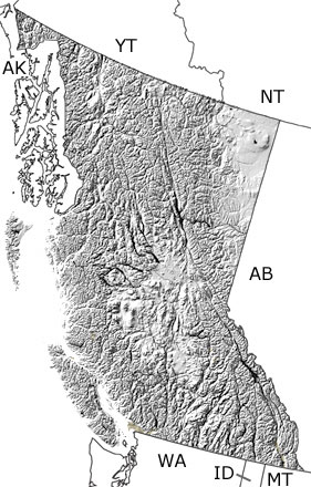
Paleontology and geologyThe Quaternary has been a time of substantial tectonic activity in British Columbia. The North American and Pacific Plates continued to slide past each other, and the remaining fragments of old plates were subducted to the southwest. All this activity brought magma up near the surface and formed faults throughout the province. Central British Columbia also moved over a hotspot, which created a line of volcanoes from east to west. Some volcanoes erupted during glacial periods, and when the lava and ash met the ice, it flowed sideways, giving these volcanoes flat tops. Glaciers covered much of British Columbia several times during the Quaternary. They came down from the mountains, carved out valleys and fjords, picked up sediment, and left eskers and moraines. In between the glacial periods, the province was covered by forests, lakes, and marshes, which were home to mammoths, mastodons, bison, as well as smaller mammals, birds, amphibians, and fish. Some of the volcanoes and faults in British Columbia are still active. The most recent eruption was just 100 years ago, seamounts are forming off the coast, and earthquakes occur every year. |


