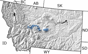
Paleontology and geologyFor most of the Early Carboniferous (Mississippian), warm, marine waters, ranging in depth from deep to shallow, covered the state. The diverse marine fauna included algae, sponges, worms, arthropods, bivalves, cephalopods, brachiopods, and nearly 100 species of fish. Occasionally, shallow areas of the sea evaporated, producing salt deposits. For a brief time, the seas even retreated far enough to expose limestones deposited earlier on the sea floor. Rainwater dissolved the limestones, forming karst topography we see today. During the Late Carboniferous (Pennsylvanian), regional uplift created highlands in the north-northwestern part of the state and the shallow seas retreated. This map indicates the presence of Carboniferous rocks in central Montana. |