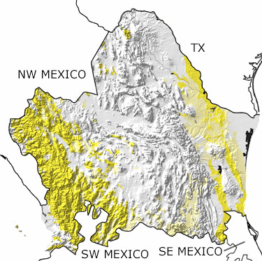
Paleontology and geologyIn the Tertiary, the Northeastern Region of Mexico experienced significant volcanic activity, and much of the area was pushed up. Near the coast of modern day Nayarit, two oceanic plates met the continental plate. North of this area, one oceanic plate began to slide past the continent, while to the south, subduction continued to pull the other underneath southern Mexico. As a result of these movements, many rocks were folded and faulted, basins and mountain ranges formed in the north, and volcanoes erupted in the west. The climate was warm and wetter than today, allowing cloud forests to develop in the highlands and tropical forests and grasslands in the lowlands. These habitats were home to various mammals, such as camels, peccaries, rhinoceroses, horses, and oreodonts. The seas on either coast were filled with corals, bivalves, barnacles, foraminifera, ostracods, diatoms, and radiolarians. Fossils of these marine animals can be found on Islas Marias, a group of volcanic islands off the coast of Nayarit. |


