

The Permian in Northeast region, Mexico |
|||||||||||||||||||||||||||||||||||||||||||||||||||||||||||
|
|||||||||||||||||||||||||||||||||||||||||||||||||||||||||||
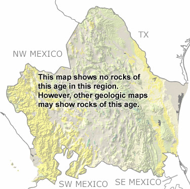
Paleontology and geologyDuring the Permian, Gondwana continued to collide with Laurentia, forming the supercontinent Pangea. This collision brought sedimentary, metamorphic, and igneous rocks from the margin of Gondwana to their present location in the eastern part of this region. These rocks now formed the continental margin of Mexico. It also buckled the crust of both continents, folding and faulting rocks as it created basins and highlands. To the west, limestones, sandstones, shales, and deposits from underwater avalanches formed in shallow to deep seas. These seas were home to crinoids, brachiopods, cephalopods, corals, bivalves, and bryozoans. Farther west, there were volcanic islands and oceanic sediments that would later become part of Northeastern Mexico. Many of the rocks from this period have been altered, buried below younger rocks, or eroded away. A few small exposures remain, but they are too small to appear on this map. Other more detailed maps may show them. |
|||||||||||||||||||||||||||||||||||||||||||||||||||||||||||
|
|
|||||||||||||||||||||||||||||||||||||||||||||||||||||||||||


|
site tour |
about the site |
site map |
site credits |
page credits |
help |
FAQs |
contact |
||