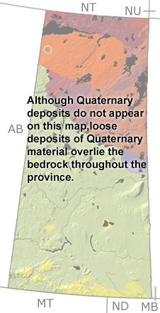
Paleontology and geologyDuring the Quaternary, there were five glacial episodes, separated by warmer, interglacial periods. The ice scoured and scraped up the Precambrian rocks in the north, leaving behind a rugged terrain and striations and grooves in the bedrock. The relatively soft Precambrian sandstones south of Lake Athabasca were easily eroded by the glaciers, and the sandy sediment they picked up was re-deposited as drumlins, eskers, and moraines over the southern part of the province. When the glaciers receded, lakes formed from the melting ice. Deposits of clay and silt from the lakes cover much of the province, and wave-cut platforms and ancient shorelines are visible in some areas. In between the glacial episodes, forests and grasslands covered Saskatchewan. These environments were home to extinct animals like mammoths, shrub ox, giant bison, giant ground sloths, camels, and relatives of modern horses. There were also animals we know today, like coyotes, muskrats, prairie dogs, and pronghorn. Plant and pollen fossils from lake deposits and peat bogs provide clues about how climate changed throughout the period. |


