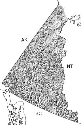
Paleontology and geologyThe Yukon Territory was under water during the Silurian. Deeper basins still existed in the north and southeast, while the shallow waters of the continental shelf covered most of the territory. The continental slope dropped down to the open ocean over the southwestern part of the territory. Shales and cherts accumulated in the deeper waters, and limestones, sandstones, and siltstones were deposited in the shallower areas. A diverse array of invertebrates lived in these warm, tropical seas, including corals, sponges, brachiopods, trilobites, gastropods, bryozoans, graptolites, and conodonts. These animals built up reefs, around which swam armored jawless fish called heterostracans. |


