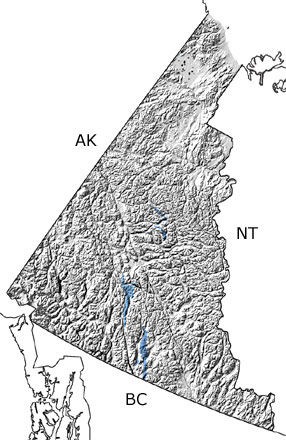
Paleontology and geologyIn the Carboniferous, the new ocean basin that was forming between the continent and a series of volcanic islands continued to widen. Yukon Territory was under water, with shallow seas in the middle and deeper basins surrounding it to the north, west, and south. Limestones, sandstones, and shales deposited in these seas preserve fossils of many invertebrates that lived here, such as corals, bryozoans, crinoids, foraminifera, and sponges. Large deposits of coal and fossils of pollen and spores indicate that the mainland and some of the islands were covered in forests of early plants like Cordaites and various conifers, cycads, seed ferns, and gnetophytes. The volcanic islands continued to build up as lava and ash poured out at the surface and granite formed beneath them. This tectonic activity also created new islands around the old ones. |


