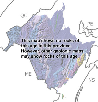
Paleontology and geologyIn the Jurassic, the Atlantic Ocean was opening up to the east, creating many rifts and faults as the crust split open. The Bay of Fundy is one of these rifts. As the land dropped down, floodplains, rivers, and lakes developed, filling with sediments from the surrounding highlands. Eventually, the crust became so thin, that magma reached the surface. Fissures spewed lava and ash over the area, flooding the basin. These deposits of basalt and tuff are exposed on Grand Manan Island in the south and are the same as those across the bay in Nova Scotia. In some areas, the basalt cooled slowly enough to form six-sided columns. These volcanic rocks are Late Triassic to Early Jurassic in age, and they will appear on the map when you click the “SHOW undifferentiated rock units” button. |


