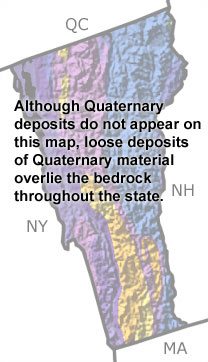
home   Printer friendly version Add to site
Advanced search
Time & Space Fossil Gallery Famous Flora & Fauna
Careers Resources K-12 Collections PaleoPeople

The Quaternary in Vermont, US

Quaternary in Vermont map
 

Choose a time period:

Quaternary
Tertiary
Cretaceous
Jurassic
Triassic
Permian
Carboniferous
Devonian
Silurian
Ordovician
Cambrian
Precambrian

Quaternary Fossils

No slide show is available for the Quaternary in Vermont.

Search the fossil gallery

Paleontology and geology

During much of the Quaternary, a thick sheet of ice covered Vermont. The weight of that ice depressed the surface of the land, allowing ocean waters to infiltrate the lakes of this region. In westernmost Vermont, fossils in lake deposits indicate that the salinity fluctuated as lake waters mingled with ocean water entering through the St. Lawrence River to the north. As the glaciers melted, the land was able to rebound in elevation, building a barrier to the ocean waters and freshwater lake conditions returned.

Links to more on the Quaternary in Vermont

Education and Exhibits

Education and Exhibits

Virtual Exhibits (showing 1 of 1 listings)

Charlotte, the Vermont Whale: This virtual exhibit details the story of a beluga whale skeleton found more than 150 miles from the nearest ocean.

top Top of List


New York State Map
New Hampshire State Map
Massachusetts State Map
Quebec Province Map