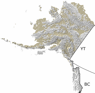
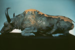
Paleontology and geologyThe extensive mountain ranges that dominate the northern and southern parts of the state trapped moisture in the form of snow, creating a widespread area of glaciation. In contrast, the central third of the state formed an ice-free corridor in which extensive grasslands and large sand dunes accumulated. The increased glaciation lowered the sea level and exposed the Bering Land Bridge (Beringia), which allowed the migration of both animals and plants between Asia and North America. The Quaternary remained an active tectonic period with numerous volcanic eruptions in the Wrangell Mountains and along what is now the Alaskan Peninsula and Aleutian Islands. Fossils from this time period include those of mammoths, horse, bison, and the short-faced bear. |