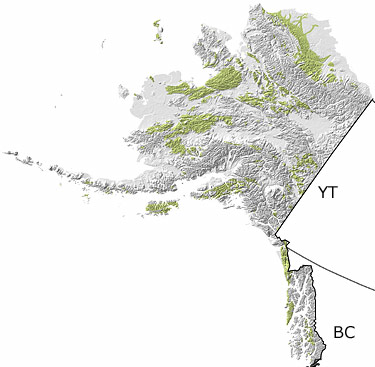
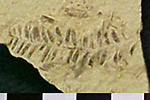
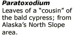
Paleontology and geologyThroughout the Cretaceous, a series of continental and oceanic plates moved northward and joined to earlier pieces of the continent. This aggregation of landmasses resulted in extensive mountain building, including the formation of the Brooks Range in the north. As more areas were uplifted, erosion increased, dumping huge amounts of sediment into low-lying areas. Large deltas extended the land seaward, eventually forming numerous coastal swamps, while shallow marine conditions continued to dominate offshore. The fossil record from this period is both marine and terrestrial, the latter including numerous dinosaurs that lived amongst the meandering rivers and floodplains. |