

The Triassic in Southwest region, Mexico |
|||||||||||||||||||||||||||||||||||||||||||||||||||||||||||
|
|||||||||||||||||||||||||||||||||||||||||||||||||||||||||||
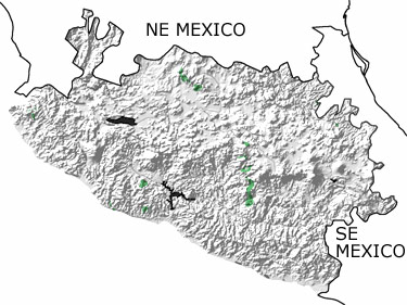
Paleontology and geologyThe supercontinent Pangea began to break up in the Triassic, and as Gondwana split from Laurentia, sedimentary and igneous rocks from Gondwana were left in the eastern part of this Southwestern Region. This movement brought magma near to the surface, and masses of granite formed under older rocks in the east. To the west, shallow to deep seas covered the continental shelf and slope. Sandstones, siltstones, and shales were deposited in the seas, and underwater avalanches were common on the steep slopes. These waters extended out into the open ocean where a series of volcanic islands were approaching. Some of the sedimentary, metamorphic, and igneous rocks that formed in these environments are exposed in small areas around the region. |
|||||||||||||||||||||||||||||||||||||||||||||||||||||||||||
|
|
|||||||||||||||||||||||||||||||||||||||||||||||||||||||||||


|
site tour |
about the site |
site map |
site credits |
page credits |
help |
FAQs |
contact |
||