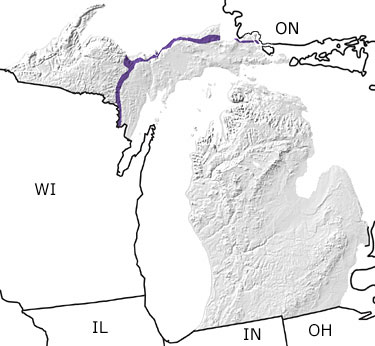
Paleontology and geologyDuring the Cambrian, the mountains that had formed in the Upper Peninsula region in the Precambrian were worn down, allowing a shallow sea to lap over Michigan. The sandstones of Pictured Rock National Lakeshore were deposited in the shallow water of this sea. These are shown on this map as a thin band in the Upper Peninsula of Michigan, along the southern shore of Lake Superior, and extending to the southwest. At this time, North America was situated over the equator so the climate was tropical, and invertebrate marine organisms such as trilobites and brachiopods proliferated. |