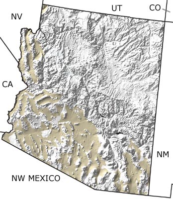
The Paleontology of North America

The Quaternary in Arizona, US

 map

undifferentiated rock units

See exposures in this state from the:

Quaternary
Tertiary
Cretaceous
Jurassic
Triassic
Permian
Carboniferous
Devonian
Silurian
Ordovician
Cambrian
Precambrian

Quaternary Fossils
Fossil photos from Quaternary in Arizona

Previous (2 slides) Next

Paleontology and geology

Arizona’s modern river systems were established in the Quaternary, but as the climate became more arid, much of Arizona turned to desert, with fewer lakes and permanent streams. There was minor volcanic activity during this time interval, especially in the north. This map indicates the presence of Quaternary rocks in much of the lowland areas of western and southern Arizona.

Utah State Map Colorado State Map New Mexico State Map California State Map Nevada State Map Northwest Mexico Region Map