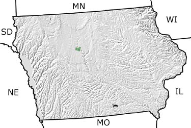
Paleontology and geologyBy Late Jurassic time, the Western Interior and Great Plains regions were flooded by the Sundance Sea. The edge of this sea extended into central Iowa, resulting in the deposition of sediments associated with embayments and lagoons of the coast. Most of these were subsequently eroded, leaving only a small area of the Ft. Dodge Gypsum in the north-central part of the state to represent Jurassic surface rocks. This deposit formed when water from the shallow Sundance Sea evaporated, producing an extremely salty solution (a brine). When the solution became sufficiently concentrated, gypsum crystals formed and accumulated on the sea floor. |