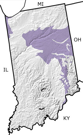
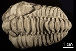
Paleontology and geologyDuring the Silurian, the movement of the North American plate placed Indiana near the equator, giving it a tropical climate. In addition, Indiana was covered by a shallow sea, in which marine organisms flourished. Large reefs were especially common in the Middle to Late Silurian in the southwestern and northeastern parts of the state; quiet areas between the reefs teemed with marine life, including brachiopods, crinoids, and corals. Most exposures of Silurian rocks occur in central and southeastern Indiana. |