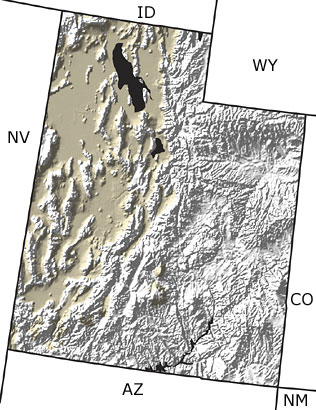
Paleontology and geologyDuring this time period, Utah developed its present topography. Regional uplift occurred over an area of nearly two miles. This uplift resulted in renewed erosion by rivers, forming the spectacular river canyons of the state. The Basin and Range topography in the west continued to grow, and small cinder cones erupted in southwestern Utah. All of the mountain ranges in the state were glaciated. Between 30,000 and 10,000 years ago, a huge lake, Lake Bonneville, covered western Utah, providing a home to salmon and other fish. However, increasing aridity and the lack of an outlet for the lake resulted in increased evaporation, increased salinity, and finally the formation of the aptly named Great Salt Lake and the extinction of most of the lake fauna. Quaternary fossil vertebrates include saber-toothed cats, short-faced bears, giant ground sloths, bison, and musk ox, among many others. |