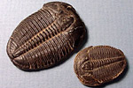
Paleontology and geologySea level rose throughout the Early and Middle Cambrian, causing the shoreline to migrate east until the entire state was covered by water by the end of the Cambrian. Deposits of shallow-water sandstones and overlying shales and carbonates are much thicker in the western part of the state than in the eastern half, as that is the area where the sea covered Utah for a longer time. The most complete sequence of Middle through Late Cambrian fossil-bearing rocks in the world is found in Utah. A wide range of fossil marine invertebrates have been discovered in these rocks, including brachiopods, bryozoans, corals, and conodonts. Utah is particularly rich in trilobites and virtually every museum in the world has a specimen of the trilobite Elrathia kingi from Utah.
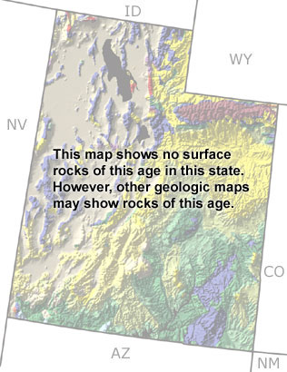
Although this map only indicates the presence of undifferentiated rocks, there are scattered outcrops of Cambrian rocks throughout the western part of the state, as shown on the map provided by the Utah Geological Survey. |