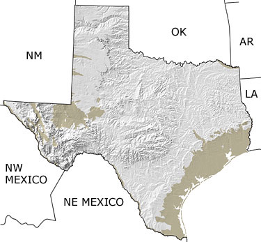
The Quaternary in Texas, US |
||||||||||||||||||||||||||||||||||||||||||||||||||||||||||||||
|
||||||||||||||||||||||||||||||||||||||||||||||||||||||||||||||
Paleontology and geologyWith the retreat of the glaciers of the Early Quaternary (Pleistocene), the landscape was sculpted by |
||||||||||||||||||||||||||||||||||||||||||||||||||||||||||||||