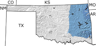
Paleontology and geologyEarly Carboniferous rocks (Mississippian) are well exposed across a wide area in far northeastern Oklahoma and in several narrow belts in the southeastern part of the state. Thick limestone layers deposited at this time represent the last widespread flooding of the North American continent. Toward the end of the Mississippian, portions of the state began to warp downward, forming deep basins, as a result of mountain-building activity beginning off the southeastern edge of the continent. Thick sequences of shale, sandstone, and limestone were formed in these basins. Fossils of blastoids, brachiopods, echinoids, corals, trilobites, and other invertebrates suggest that the climate was tropical at this time.
Late Carboniferous (Pennsylvanian) rocks consist of cyclical sequences of sandstone, shale, and sometimes limestone that formed under marine and non-marine conditions. These rocks cover nearly 25% of the surface area of Oklahoma. The most intense interval of mountain building in the state occurred during this time. Rocks in the southern half of the state were folded and faulted, and older rock units were pushed upward as the Ouachita, Arbuckle, and Wichita Mountains rose. As the mountains eroded, sediments carried by rivers and streams formed large deltas. Great swamps covered the low-lying areas, and the rich growth of vegetation eventually formed coal seams. Fossil plants are common in these rocks. |