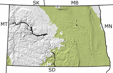
Paleontology and geologyDuring the Cretaceous, North Dakota was either completely or partially covered by a warm, shallow sea called the Western Interior Seaway. Although sea level fluctuated, it was never very deep, perhaps a few hundred feet at most, and at its greatest extent connected the Arctic Sea with the Gulf of Mexico. As the rising Rockies to the west were being eroded, rivers carried sediment eastward into the Seaway, creating large deltas in the western part of North Dakota. Changes in sea level resulted in a fluctuating shoreline and at lowest levels created shoreline habitats in central North Dakota. Fine-grained sediments, mostly silt and clay, were deposited on the seafloor. Entombed in these rocks are fossils of marine reptiles, including the mosasaur Plioplatecarpus, plesiosaurs, and the sea turtle, Archelon, as well as sharks, rays, ratfish, birds, and numerous marine invertebrates. |