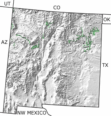
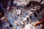
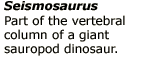
Paleontology and geologyDuring the Middle Jurassic, a desert covered northern New Mexico and was replaced by a short-lived, hypersaline lake that lasted about 40,000 years. After that, the northern part of the state became an arid coastal plain. In Late Jurassic times, huge rivers flowed to the east and formed muddy floodplains. Dinosaurs, such as gigantic Seismosaurus and carnivorous Allosaurus, roamed the land. This map indicates fingers of Jurassic rock in the northern parts of the state. |