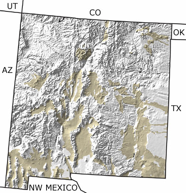
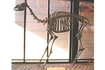
Paleontology and geologyThe final integration of the Rio Grande as the main river system in New Mexico took place during the Quaternary. Alpine glaciers were present in the northern mountains and even as far south as Sierra Blanca in south central New Mexico. This represented the southernmost extension of any glacier in North America. Large land mammals, such as mammoths and camels, roamed a landscape rich with forests of willows. This map indicates scattered exposures of Quaternary rocks throughout the state. |