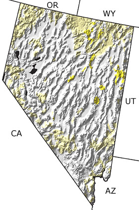
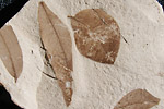
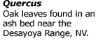
Paleontology and geologyIn the Early Tertiary, volcanoes of the Sierra Nevada continued to erupt. Later, tectonic processes began to stretch the earths crust, creating numerous faults. Some blocks of crust between faults rose to become long mountain ranges; others dropped down to form basins or valleys. Today this area is referred to as the Basin and Range Province. Thick sequences of sediments from the mountains accumulated in these basins, which were intermittently filled to form lakes. The climate was more humid than today. Many animals, including mammoths, rhinos, and horses, roamed woodlands populated with oak, redwood, and willow. Volcanoes formed throughout the state and frequently erupted flows of ash and lava. Today, much of the northeastern part of the state is covered with these volcanic rocks. |