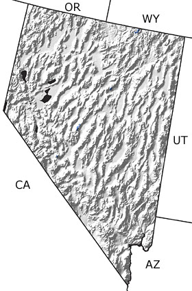
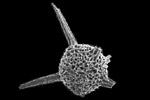
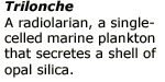
Paleontology and geologyWarm shallow seas continued to cover the eastern and southern parts of the state, and carbonate buildups, including some reefs, accumulated and eventually formed limestone. To the northwest, an accumulation of muds and chert-- made largely of the skeletons of marine plankton-- indicates the presence of a deeper ocean basin. The first tectonic activity this region had experienced in hundreds of millions of years occurred towards the end of the Devonian. Deeper water rocks were compressed and thrust eastward on top of the shallow water limy materials, forming the Antler Mountains in north central Nevada. This map indicates only a single exposure of Devonian rocks in the northern part of the state; however, undifferentiated rocks are more widespread. |