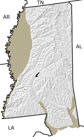
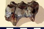
Paleontology and geologyMost of the state was coastal plain and shallow sea during the Quaternary, but glaciers further north affected the climate and caused fluctuations in sea level. Loess (wind-blown silt) blankets large areas in the northwestern part of the state. This silty sediment was eroded from the Mississippi River floodplain when strong winds scoured the landscape during the Pleistocene. Fossils of shells of various terrestrial and freshwater snails and other molluscs, as well as fossil of manatees, hippos, and the short-faced bear have been recovered from the loess deposits. |