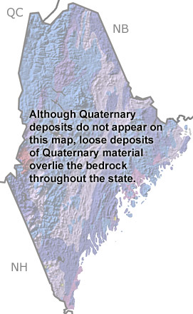
Paleontology and geologyQuaternary glaciation peaked in Maine nearly 20,000 years ago, leaving the state covered with a thick layer of ice. As the climate warmed, the glaciers began to retreat. However, the weight of the overriding glaciers had temporarily depressed the crust beneath, so the land was not able to rebound immediately. This allowed the sea to flood areas far inland, and glacial clay was deposited on the seafloor, forming what is now known as the Presumpscot Formation. Common Presumpscot fossils include clams, snails and barnacles, although mammoth, walrus, and seal remains have also been found. Toward the end of the Quaternary, Maine began the transition to a more temperate climate. The landscape rebounded and the interior seas drained away. The flora and fauna changed from cold weather species to the more familiar temperate forms that inhabit Maine today. |