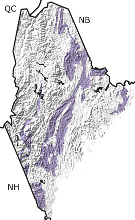
Paleontology and geologyThroughout the Silurian, Maine was located south of the equator and enjoyed subtropical to tropical temperatures. Volcanism increased near the end of the Silurian, as Avalonia began to collide with North America. With the exception of one partially terrestrial unit, all other deposits are those of marine sediments. Common nearshore faunas included brachiopods corals, bivalves, conodonts, gastropods, ostracodes, trilobites, and stromatoporoids. Graptolites, trace fossils, and some brachiopods dominate the deep-water deposits. |