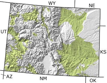
Paleontology and geologyIn the early part of the Cretaceous, Colorado lay at sea level and topographic relief was minimal. By 100 million years ago, shallow seas moved into the area, laying down a layer of beach sand and coastal sediments known as the Dakota Formation. Dinosaur footprints and fossil flowering plants are common in the remains of this forested and swampy coastal area. As the seas deepened, the western portion of the state received a thick deposit of marine mud, while the eastern portion of the state accumulated chalk and mud. This mile-thick sequence of marine rock is extremely rich in fossils, including dinoflagellates (single-celled algae), giant clams, ammonites, baculites, giant fish, mosasaurs, and plesiosaurs. Expansion of the western shoreline around 75 million years ago formed a thick sequence of coastal sediments all the way to the center of the state. Most of Colorados coal is mined from these rocks. Four million years before the end of the Cretaceous, the seas retreated and the Rocky Mountains began to rise. A new fauna that included Triceratops, Tyrannosaurus, and Edmontosaurus moved into the region, which was covered by broadleaf trees and palms. The K-T (Cretaceous-Tertiary) asteroid impact devastated the Colorado landscape, destroying all the large animals and about 50% of the plant species. |