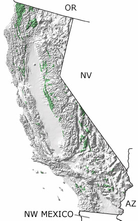
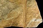
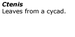
Paleontology and geologyBeginning in the Jurassic, subduction of the Farallon Plate under the western edge of the North American Plate generated widespread volcanism, began creating the ancestral Sierra Nevada, and added exotic terranes composed of oceanic sediments and crust to the continent. Ammonites, marine reptiles, bivalves, and echinoderms were common in coastal waters and their fossils are now found in the Jurassic shales, sandstones, and limestones of Stanislaus, San Joaquin, and San Luis Obispo Counties. Terrestrial sediments contain a record of gymnosperms (seed-bearing plants) such as ginkgoes, cycads, and conifers from a warm, moderately wet climate. This map indicates additional exposures in the northern part of the state. |