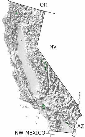
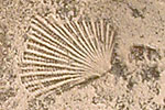
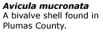
Paleontology and geologyThe western edge of North America during the Triassic would have been somewhere around the California-Nevada border. Although still in the tropics, the climate of western North America was becoming more arid as rising mountains blocked moisture-bearing winds coming from the seas. Shales, sandstones, conglomerates, dolostones, and limestones were deposited in the shallow-to-deep marine environments off the coast. Exposures in Northern California (Shasta and Plumas Counties) have yielded a diverse marine fauna, including fossils of ammonites, brachiopods, bivalves, echinoderms, and marine reptiles. |