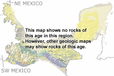
Paleontology and geologyIn the Carboniferous, Gondwana approached Laurentia, bringing the western part of this region closer to its present position. The Yucatan Peninsula was between the two continents near the ancient southeastern United States. As the two continents began to collide, some areas were pushed up and others dropped down into basins. Shallow to deep seas filled these basins and extended across to the southwest. These seas were home to many animals, including brachiopods, bivalves, gastropods, sponges, corals, bryozoans, crinoids, trilobites, ophiuroids, and rostroconchs. Over time, many of the limestones, sandstones, and shales deposited during this period were eroded. Most of the remaining rocks have been altered, folded, faulted, and buried. The few exposures are too small to appear on this map but they may appear on the map of undifferentiated Paleozoic rocks or on other more detailed maps. |


