

The Triassic in Southeast region, Mexico |
|||||||||||||||||||||||||||||||||||||||||||||||||||||||||||
|
|||||||||||||||||||||||||||||||||||||||||||||||||||||||||||
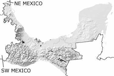
Paleontology and geologyThe supercontinent Pangea began to break up in the Triassic. As Gondwana split from Laurentia, the western part of this region remained in its current position and the Yucatan Peninsula against the ancient southeastern United States. The rifting that started to open the Atlantic Ocean also generated significant volcanism. Volcanoes spewed ash and lava, and large masses of granite formed below the surface. The newly opened basins were so shallow that seawater would often evaporate, leaving behind deposits of salt, gypsum, and anhydrite. To the west, sandstones, siltstones, and shales were deposited in shallow to deep seas that extended to the open ocean, and underwater avalanches were common on the steep slopes. Some of the sedimentary, metamorphic, and igneous rocks that formed in these environments are exposed in small areas in the north. Other exposures may be shown on the map of undifferentiated Mesozoic rocks. |
|||||||||||||||||||||||||||||||||||||||||||||||||||||||||||
|
|
|||||||||||||||||||||||||||||||||||||||||||||||||||||||||||


|
site tour |
about the site |
site map |
site credits |
page credits |
help |
FAQs |
contact |
||