
The Carboniferous in Prince Edward Island, Canada |
|||||||||||||||||||||||||||||||||||||||||||||||||||||||||||
|
|||||||||||||||||||||||||||||||||||||||||||||||||||||||||||
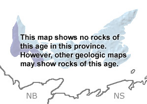
Paleontology and geologyCarboniferous rocks are present along the western edge of Prince Edward Island. Beginning about 250 to 300 million years ago, PEI was a lowland region receiving large amounts of sediment from rivers draining the surrounding highlands. These sediments have become the soft sandstone, conglomerate, siltstone, shale, and limestone layers found today. Coal beds are also present in Late Carboniferous deposits on PEI. Reptile footprints, similar to those of some genera found in England, have also been recovered. Much of the sedimentary basin receiving these sediments is now submerged below the Gulf of St. Lawrence. Fossil plant materials, as well as paleomagnetic studies, tell us that PEI and the surrounding region migrated from subtropical latitudes south of the Equator, across the Equator, and into northern subtropical latitudes between the Early Carboniferous and Early Permian. Click on the “SHOW undifferentiated rock units” button below the map to see the location of some Carboniferous rocks on PEI. |
|||||||||||||||||||||||||||||||||||||||||||||||||||||||||||
|
|
|||||||||||||||||||||||||||||||||||||||||||||||||||||||||||
|
site tour |
about the site |
site map |
site credits |
page credits |
help |
FAQs |
contact |
||


