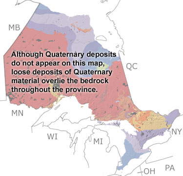
Paleontology and geologyDuring the Quaternary, glaciers spread down over Ontario from the north several times, gouging the landscape and picking up sediment. As the glaciers melted, the sediments they carried were deposited as drumlins, eskers, and moraines, which can be seen in many areas of the province. Plant and pollen fossils indicate that between the glacial periods, forests or open tundra covered the province, depending on the climate. Many animals lived in these habitats, including bison, moose, caribou, and various carnivores and rodents, as well as extinct animals like the mammoth and giant beaver. Fossils of these animals are often found in lake sediments, along with those of fish and insects. When the last glacier receded, the land surface remained very low, and a branch of the ocean, called the Champlain Sea, flooded southeastern Ontario. The shales and sandstones deposited by the sea have yielded fossils of humpback, beluga, and bowhead whales, seals, fish, and clams. Eventually, the land rebounded, the sea retreated, and the province took on its modern appearance. |