

The Permian in Ontario, Canada |
|||||||||||||||||||||||||||||||||||||||||||||||||||||||||||
|
|||||||||||||||||||||||||||||||||||||||||||||||||||||||||||
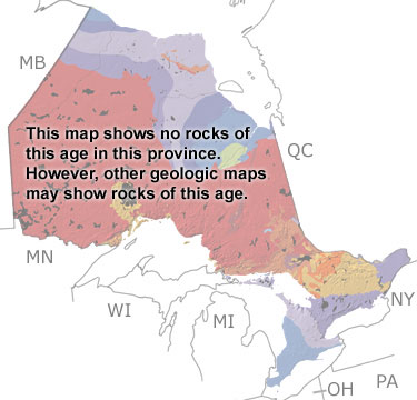
Paleontology and geologyAll the continents came together to form the supercontinent Pangea during the Permian. Ontario was above sea level near the center of the supercontinent. Erosion was the dominant force shaping the landscape, and deposition was restricted to riverbeds, lakes, and low-lying areas. While this map does not show any rocks from this period, other, more detailed maps may. |
|||||||||||||||||||||||||||||||||||||||||||||||||||||||||||
|
|
|||||||||||||||||||||||||||||||||||||||||||||||||||||||||||


|
site tour |
about the site |
site map |
site credits |
page credits |
help |
FAQs |
contact |
||