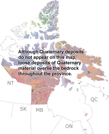
Paleontology and geologyIn the Quaternary, the climate cooled significantly, and the modern topography of Nunavut took shape. Forests were pushed south and replaced by tundra, while glaciers developed on the mainland and some of the Arctic islands. They carved out steep valleys and fjords, scraped up rocks, and redeposited sediments over much of the territory. Their movements left the many landforms we see today, including moraines, eskers, and drumlins. Fossils of land animals are rare in Nunavut, but remains of mammoths and bison that lived on the tundra have been found. In between the glacial periods, sea levels were much higher, and marine deposits can now be found hundreds of meters above sea level on several islands in the Arctic Archipelago. Some of the sandstones and shales deposited in the seas contain bivalves, walruses, whales, and a few birds. |